Principal Investigator (PI)
Pinki Mondal
Dr. Mondal is an Associate Professor in the Department of Geography and Spatial Sciences at the University of Delaware and a Resident Faculty at the UD Data Science Institute. She holds a joint appointment in the Department of Plant and Soil Sciences at UD. She is an interdisciplinary scientist trained in environmental remote sensing and Geographic Information Science (GIS). She is interested in understanding the dynamics of coupled natural and human systems by developing geospatial methods for landscape-level monitoring and assessments. Her current research focuses on climate change impacts and adaptation in multifunctional landscapes. Mondal serves as an Editor for Earth Interactions, an American Meteorological Society journal, and as an Editorial Board Member for Environmental Research: Food Systems. She was named a 2023 AAG Elevate the Discipline scholar in Climate & Society.
Prior to joining UD, she was a Senior Research Associate at the Center for International Earth Science Information Network (CIESIN) - a center within the Earth Institute at Columbia University and an Adjunct Professor in the Spitzer School of Architecture at City University of New York - City College. She has worked as a Postdoctoral Research Scientist in the DeFries Lab at Columbia University, New York and the University of Massachusetts, Amherst. She has a Ph.D. in Land Change Science from the University of Florida (Go Gators!!).
At UD, she serves as the Director of the Environmental Science undergraduate program. She teaches undergraduate and graduate courses in remote sensing (GEOG 480/680, GEOG 481/681) and GIS (GEOG 372).
Email: [email protected]; Twitter/X: @environmondal; Bluesky: @environmondal.bsky.social; Google Scholar; Linkedin
Graduate Students
|
Matthieu Ahouangbenon, PhD student (advanced to candidacy)
Matthieu Jean-Claude Ahouangbenon was born in Benin. He received his Bachelor’s degree in Environmental Sciences from the University of Abomey-Calavi and obtained his first MSc degree from the Geographic Institution of Land Management at the university of Abomey-Calavi. From serving as a GIS spatial analyst agent to working as a residence manager and a volunteer, he built a scientific career grounded in leadership and expertise. He pursued his second MSc degree as a Fulbright alumnus at the State University of New York, college of Environmental Sciences and Forestry, where he worked on the projected impacts of climate change on maize, millet and rice in West Africa, employing a GIS/remote sensing based approach. Currently, he is engaging in his PhD degree at the University of Delaware where he plans to focus on the applications of remote sensing in agriculture. He joined the EASEL lab in Fall 2020. E-mail: [email protected] |
|
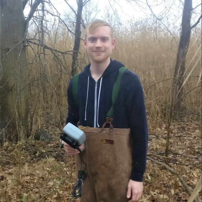
Matthew Walter, PhD (graduated in summer 2024)
Matt joined the EASEL lab in Fall 2018. He has a BA in Environmental Studies with concentration in Environmental Planning and minor in Public Policy, a Graduate GIS Certificate, and an MS in Geography. He is interested in using GIS and remote sensing as tools to monitor the impact of humans on natural and built environments and inform the decision-making process in public policy. He has experience in applying machine learning techniques, multispectral and SAR remote sensing imagery, geospatial analysis, and environmental field work. His research so far has covered topics such as wetland degradation, land cover changes, and invasive species mapping. As a PhD student at the University of Delaware, he plans to apply geospatial tools to researching sustainability within cities. E-mail: [email protected] |
|
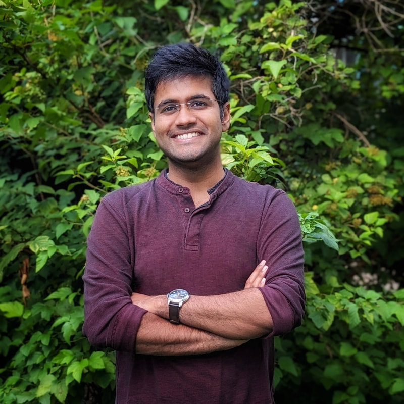
Manan Sarupria, PhD student (advanced to candidacy)
Manan obtained his Bachelor's degree in Chemical Engineering from BITS Pilani Goa campus, India in 2019 with final year thesis at the National University of Singapore. He received his Masters’ degree in Water Resources Engineering from the Katholieke Universiteit Leuven in the summer of 2021. Manan has experience in performing statistical analysis of extreme hydrological events, hydrological modeling, multi and hyperspectral remote sensing imagery, geospatial analysis, and climate change impact assessment. Inspired by the beauty of the natural world and its ability to sustain a human society in a balanced way, Manan is motivated to study how climate change is affecting this delicate balance today. Starting from Spring 2022 at the EASEL Lab, Manan will be working on a NASA-funded project to evaluate the impacts of climate change on the coastal ecosystem and delivering real-time satellite-derived big data for environmental change research. E-mail: [email protected] |
EASEL Lab Alumni